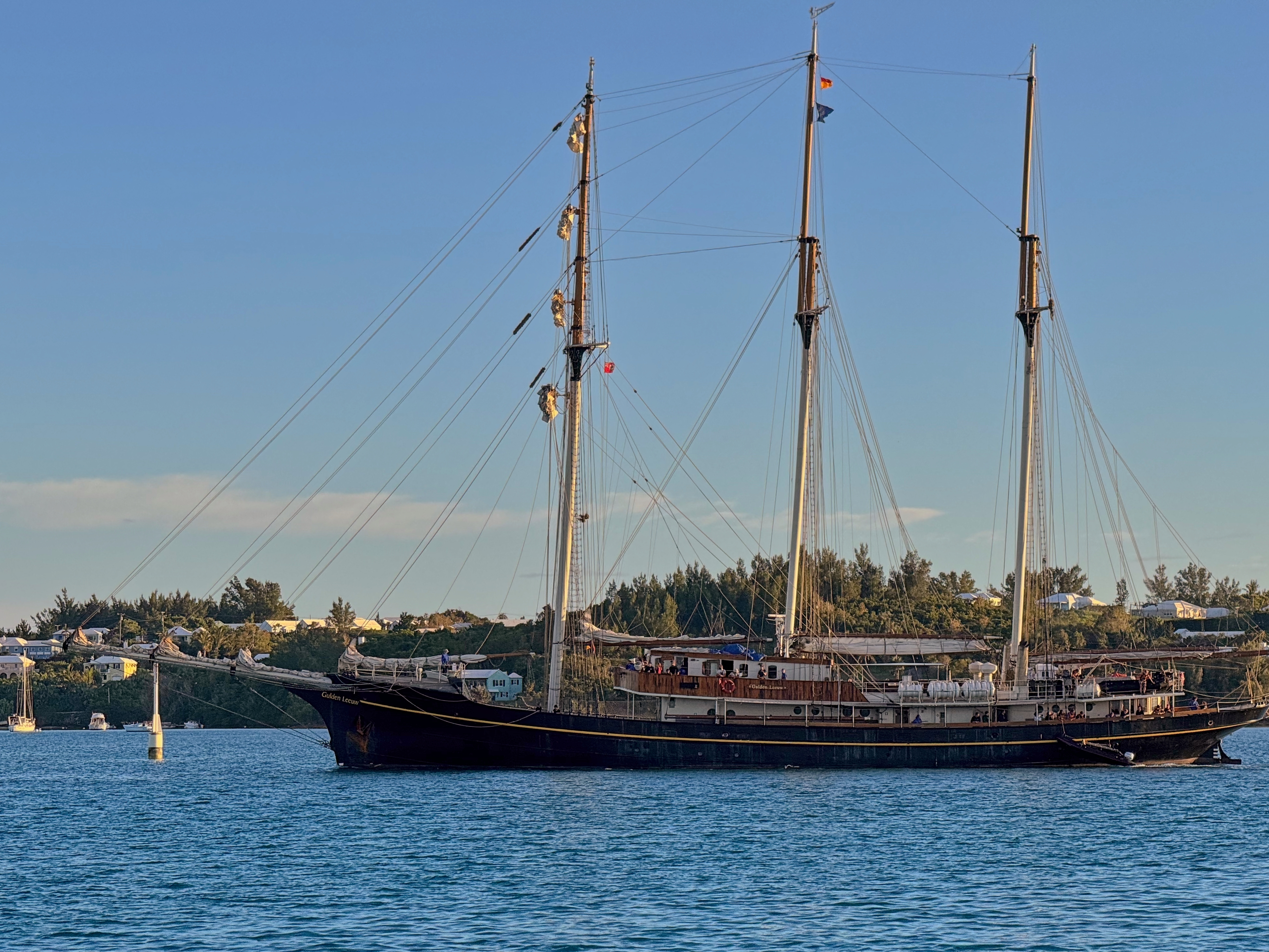
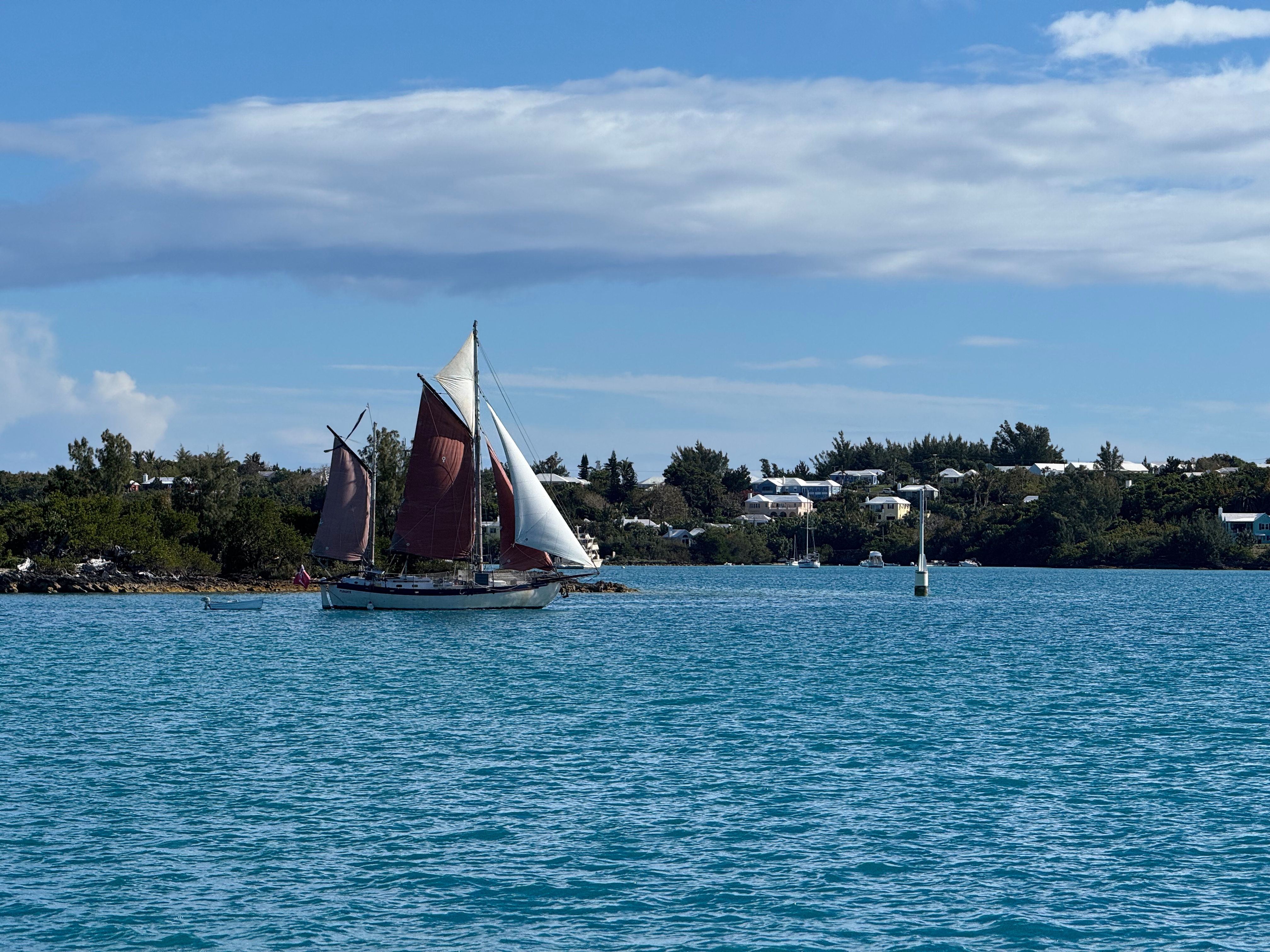
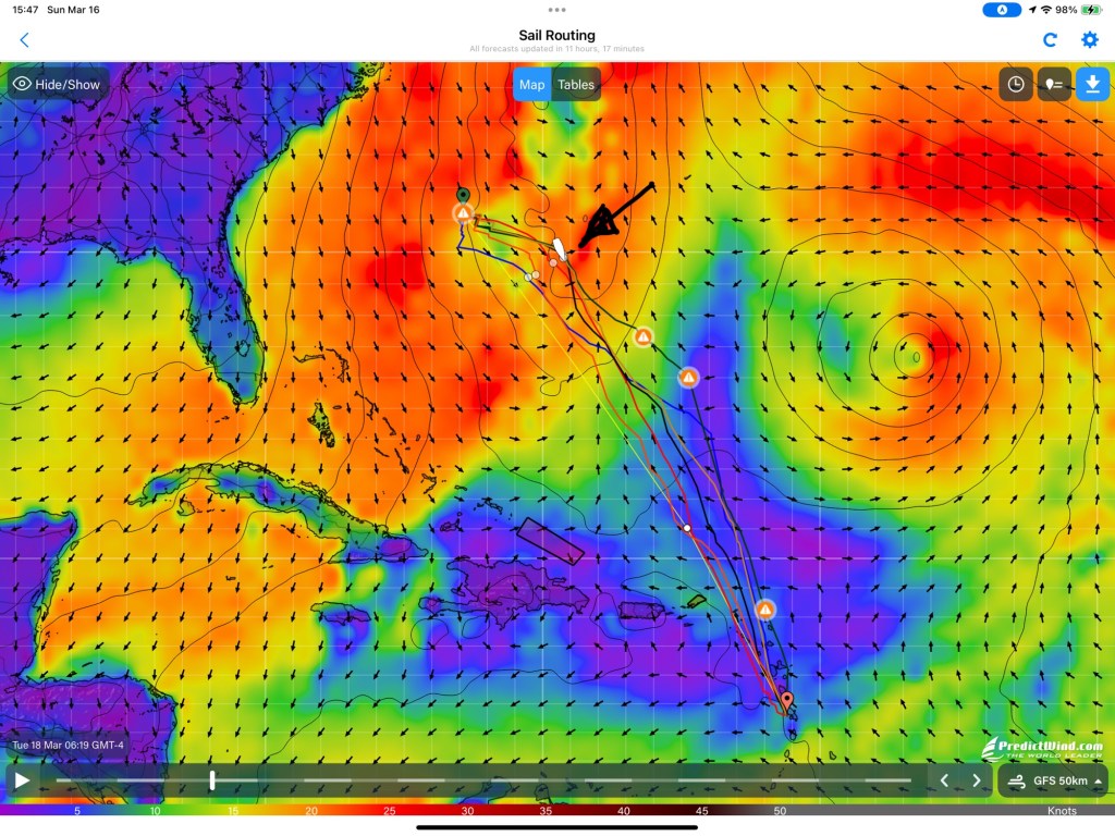
Last night we dropped anchor off Sainte Anne in Martinique after a long, but relatively uneventful trip. No gales, no pounding close hauled sailing. In 7 1/2 days we covered 1158 nautical miles at an average speed of 6.5 knots.
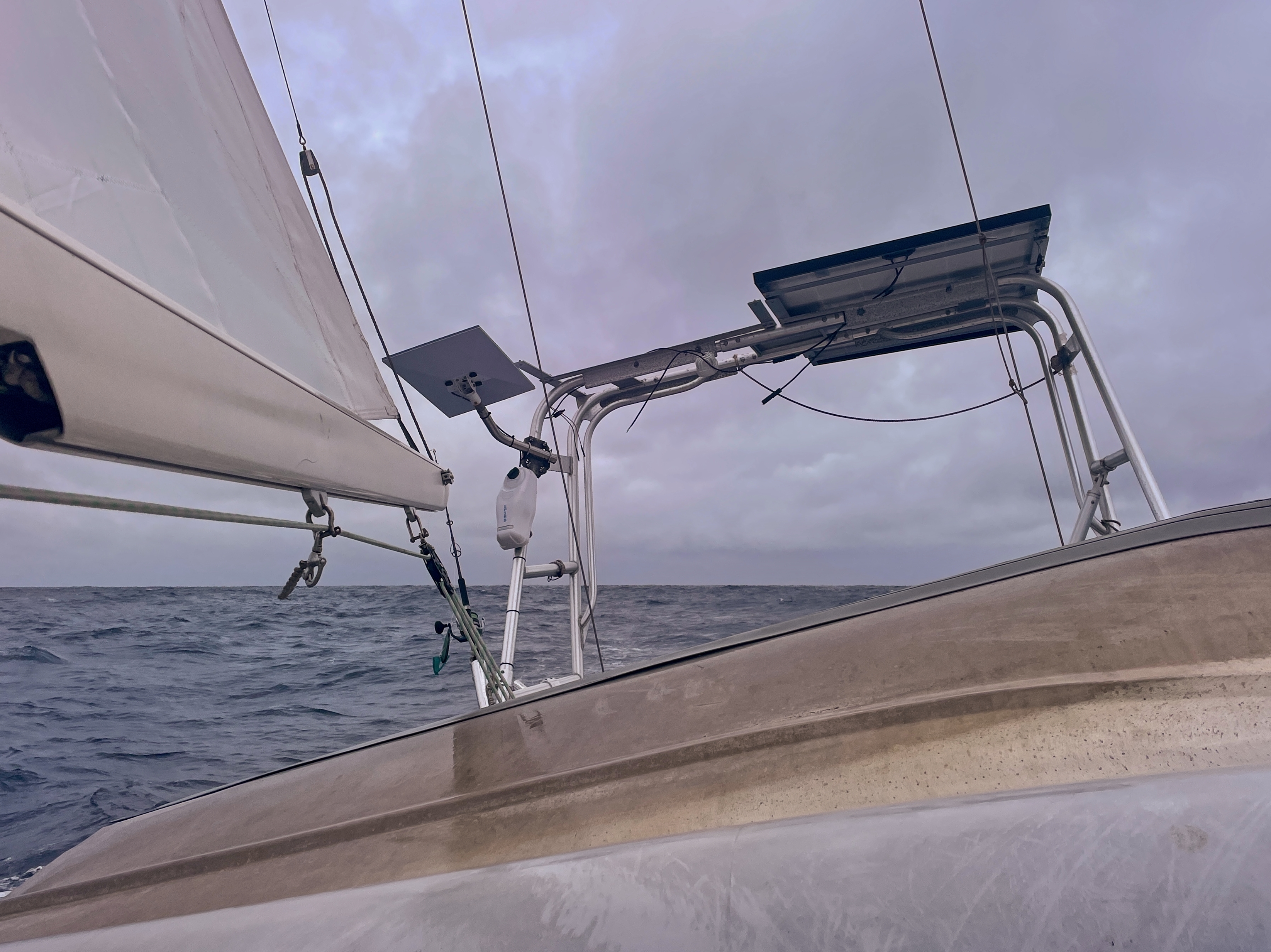
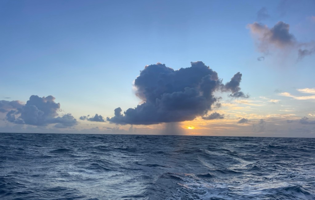
Coming down from Bermuda the prevailing winds allow the trip to be done pretty much all on a close reach. Once you get a bit south out of Bermuda, the chances of a cold front dropping down low enough to affect the trip get pretty small. What we expected, was exactly what we found. Right out of Bermuda, we had a period of light wind which had us motoring for a bit, but the rest of the trip was entirely on port tack, with winds that were fresh, and kept us moving at a good speed. Once we got further south into warmer water, we did run into a few tradewind squalls, but nothing too serious.
In my last post I complained about the amount of sargasum weed that was making normal trolling for fish impossible. That continued for the whole trip, and in fact got progressively worse as we moved south. By the time we got the east coast of Martinique, I’d estimate that about 2% of the ocean’s surface was covered with weed. I hinted in the previous post that I had a plan to catch some fish despite this.

As you can see, my plan was a success. The larger fish is a young yellowfin tuna (ahi), the smaller one is a blackfin tuna. So, how did I catch these fish when I could not troll a lure behind the boat? The key is finding where the fish are. Anything floating in the open ocean attracts fish. These fish were caught courtesy of the NOAA Weather Buoy 41049 which is anchored in 16,000 feet of water (!) pretty much right on the rhumb line track from Bermuda to the eastern Caribbean. As we approached the buoy, we dropped lines behind the boat, and as the lures came up to the mark, we had fish on two of the three lines. We lost a large mahi-mahi when he jumped and threw the hook, but were really happy with the addition of high quality tuna sushi to the freezer.
The Ahi in particular was an extremely fatty fish. There was actually a layer of white fat under the skin, which I have never seen before. If you are at all familiar with sushi, you know this is a highly valued trait. I can report that this was an amazingly yummy fish. Melt in your mouth buttery and smooth.
But Not All is Roses.
This was a good sail. We did not break much. Only one thing.
While dealing with one of those squalls, the wind climbed into the mid 20’s. As we released the main sheet to reef the sail, the piece that the French call a “saddle” that attaches the main sheet blocks to the boom ripped out of the boom. If I had seen this failure on any other boat I would have assumed it was due to an accidental gybe. We are going to turn this problem over to the Amel staff here in Martinique to fix.
Overall, it was a great trip. We caught fish. The boat performed well. We did not add to the injuries we ourselves suffered on the passage to Bermuda. Other than the few miles departing from and arriving at the islands, the entire trip was one long port tack reach.
Lessons Learned
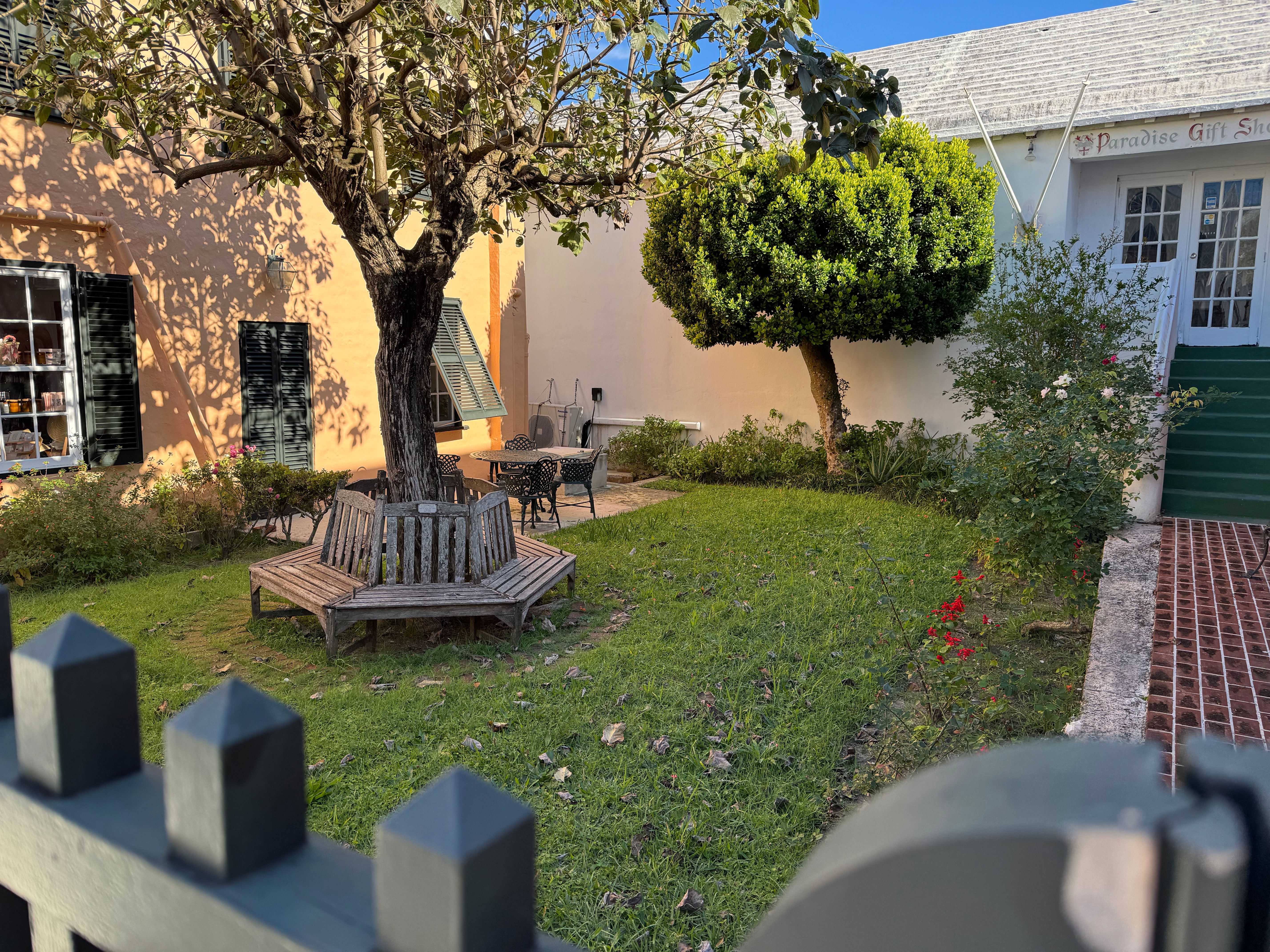
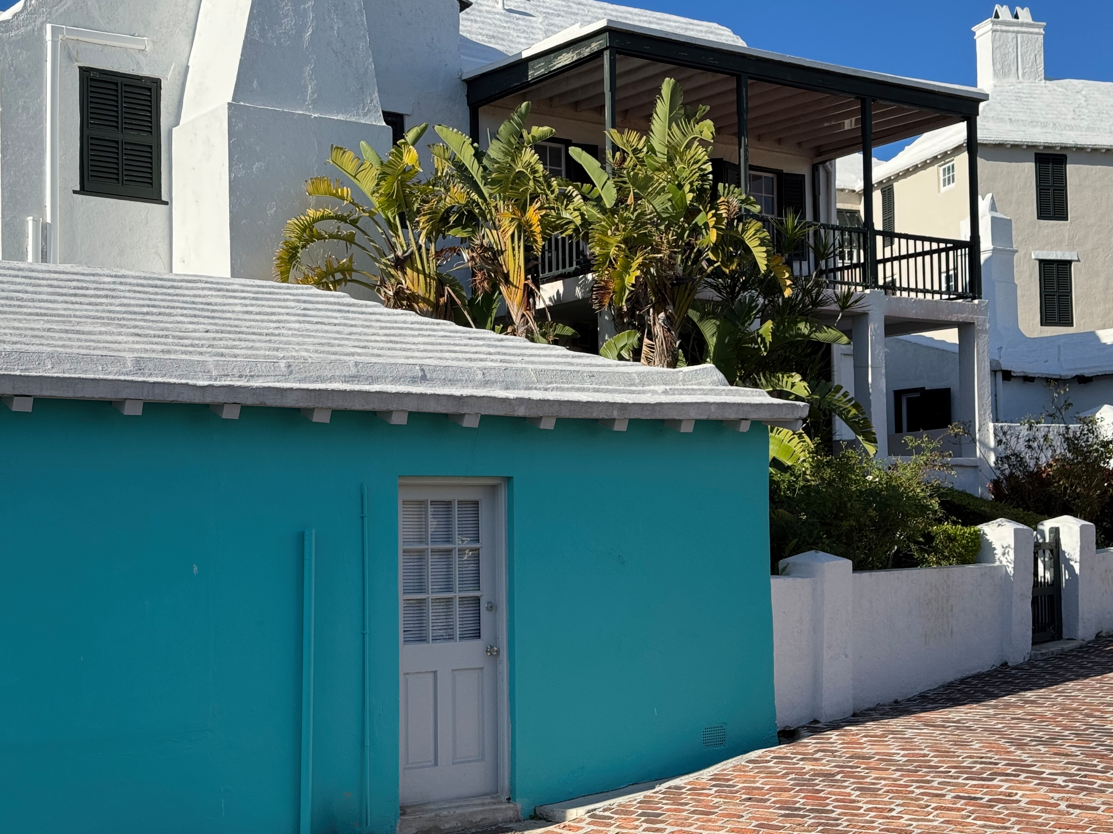
The primary lesson I took away from this whole experience is: If you are leaving from the east coast of the USA for the eastern Caribbean, just suck it up and go to Bermuda. Yes, it can add two or three days to the underway passage time, but it ends up being a MUCH better trip. Sometimes the conventional wisdom is exactly spot one. Add to the fact that Bermuda is a delightful place, and you have a no-brainer.