Time: 16:10 local
Lat: 35 01N
Log: 74 40W
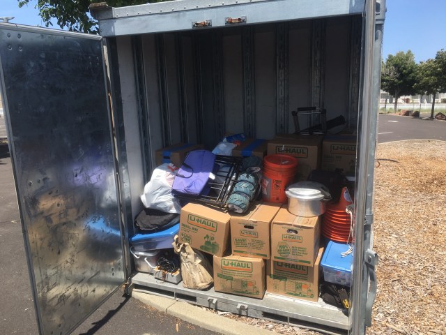
Distance from Port Canaveral: 501NM
Distance to Sandy Hook Bay Marina: 323NM
We are 40 miles east of Cape Hatteras. A very busy shipping lane with lots of vessels heading north and south along the coast. A complex and difficult place to navigate, and historically a dangerous one. The number of wrecks marked on the chart are beyond a casual count. Because of the geography here, the winds blow harder, and the currents are strong and variable, and easy place to get in trouble if you are not paying attention.
The southwest wind that had been pushing us smartly along has gotten a bit more forceful in its approach. Now blowing at 25 knots, we are moving at 7.5 knots with 5 to 8 foot seas following us.
Two issues last night. We tore a sail. Not a critical one, but one that helps us go downwind with speed and comfort. Getting it down in the wind and dark was quite the project, but we managed. The other is more of an annoyance than a major issue. Our anemometer for some reason stopped working. Now we just have to guess how hard the wind is blowing! No real chance to trouble shoot yet. Hopefully not something to complex to fix!
The weather forecast is for a dark and stormy night. Basically more of the same we have right now, except with the chance for thunderstorms. Should be nicer tomorrow a bit further north.
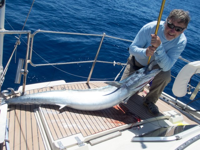
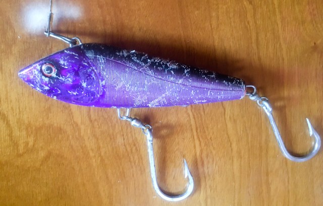
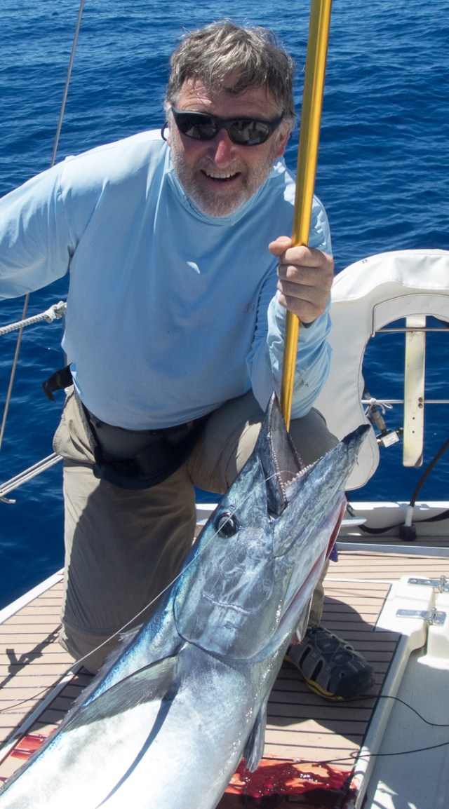 For those of you who may not know the wahoo, it is a long, streamlined member of the tuna family. One of the fastest swimming fish in the ocean, with a mouthful of razor sharp teeth. Their modus operandi is to lurk deeper in the water column, looking up for their prey. They charge up from below, chop the unlucky target in half with those fearsome teeth, and come back for the pieces.

 Here are some shots of Junior. He was way more active than Mom. What that means is you can notice him move… sometimes.