The Strangest of Stars

Karen is really good at spotting them during her night watches. What looks like a very bright star to a casual glance, until you notice it “twinkles” in a strange way. Then you get the binoculars and you can see a steady white light, and a green and red light that flash alternately. It’s an aircraft, but a strange one. It doesn’t move. And wherever you find one, there are more. Always evenly spaced out in a line across the sky. These are obviously large surveillance drones, but it is very difficult to find any information about them.

It used to be that US Customs and Border Protection (CBP) operated a chain of large tethered blimps from Puerto Rico to Texas with downward looking radar to monitor boats and low flying aircraft that might be involved in smuggling drugs or people. A few years ago, those were decommissioned. A few minutes of searching and I can not find any announcements or information about what replaced that capability. The official answer from CBP is that there is no replacement for the radar monitoring capabilities of discontinued tethered blimp radar system. Color me skeptical.

The blimp system itself was ridiculously expensive to operate, and had a really low availability. Many sites had these radars in the air less than 40% of the time. The logic from the people who were running it was that it was still a deterrent, because the bad guys wouldn’t ever know if it was operating or not. This is all kinds of stupid, since anybody who had a phone within 50 miles of the blimp’s location could simply look up in the sky and call ahead to let their fellow bad guys know the blimp’s operational status: “Hey, Juan! The blimp’s down! Get that plane with the cocaine in the air NOW!”

I am quite sure that the Bahamas, Haiti, and the BVI do not have the resources–either alone or together–to put up a picket line of drones across the Caribbean every night. A short review of the DHS budget doesn’t show a line item for drone operations at all.

A couple of possibilities. Either the drone program is buried in the DHS budget in a way designed to deliberately obfuscate it, or the hardware and operating budget are actually buried in the Pentagon’s budget, and I am not even going to TRY to find it there.

I can sort of understand why “they” might want to keep the capabilities of the system under wraps, but it makes no sense at all to pretend it doesn’t exist when anybody with eyes can go out and see it.

If anybody has more information I’d love to hear it…

And Meanwhile, Onboard Harmonie

We have bounced back and forth from Culebra to the main island of Puerto Rico in the last week and a half or so. Getting stuff done, provisioning, and receiving packages. If all goes according to plan, this will be Harmonie’s last USA stop for some time.

Ensenada Honda in Culebra

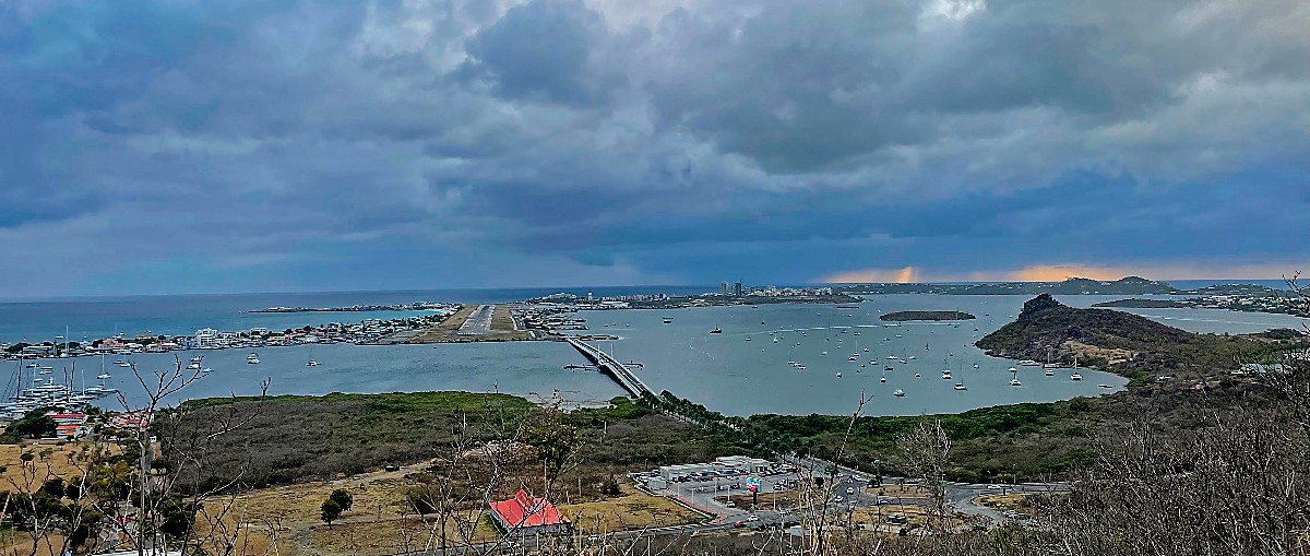
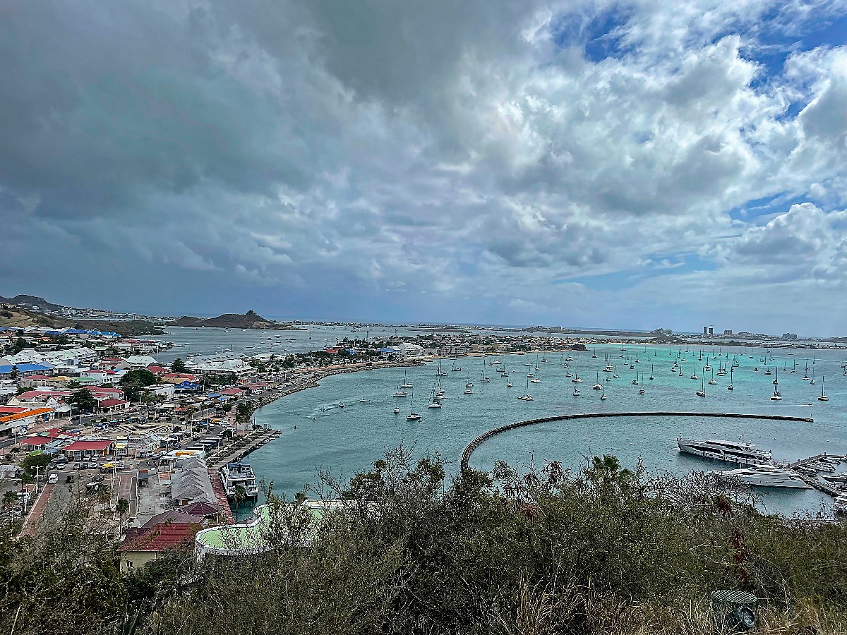
The expectation is that we leave here tomorrow morning to head to Sint Maarten, one of the commercial hubs of the Eastern Caribbean. We will spend a week to 10 days there, and then head to Martinique, and then on to Grenada.

Posted in Underway | Tagged , , , , , , , , , , , , , , , , , , , , , , , , , , | 3 Comments

The big truck that can!

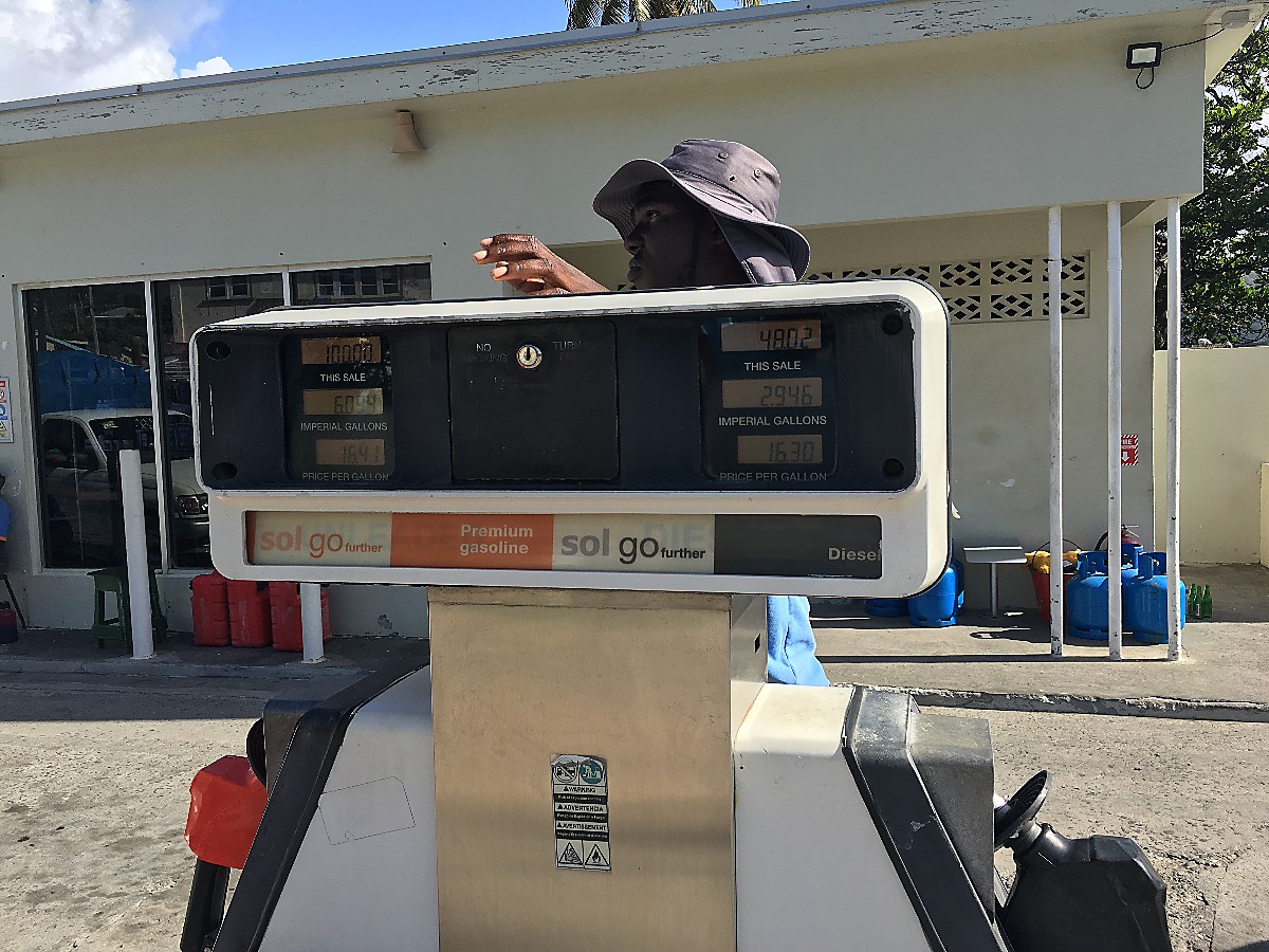
When visiting San Salvador, Bahamas, Karen fell in love with the marina’s fuel truck. “Rusted out” is a polite description. Purchased second hand, it began life delivering Aviation Gasoline at an airport, somewhere. Built “sometime in the 1970’s”, it has sat in the open, mere feet from the ocean for most of 50 years. Never garaged! And, yes, it still runs!

It looks like a wreck, but it is a working truck.

Shawn, the caretaker of the International, told me the marina/resort had purchased a replacement a few years ago, but that it didn’t work well, and was too hard to keep running. The old truck’s pumps run on compressed air, and has been easier to maintain then the more “modern” hydraulic systems..

Check out the “safety bars” where the doors used to be!

Yes, it really does run!

While we were there, the truck drove to the Government Dock, picked up a load of 2,000 gallons of diesel, and came back to the marina. It has 3 tanks of 1,000 gallons each, but one has rusted out!

Karen just fell in love with this truck!

San Salvador, Bahamas, International, Harmonie,

Posted in Underway | 1 Comment

Arrived!

We arrived at the harbor in Culebra this morning without further drama.

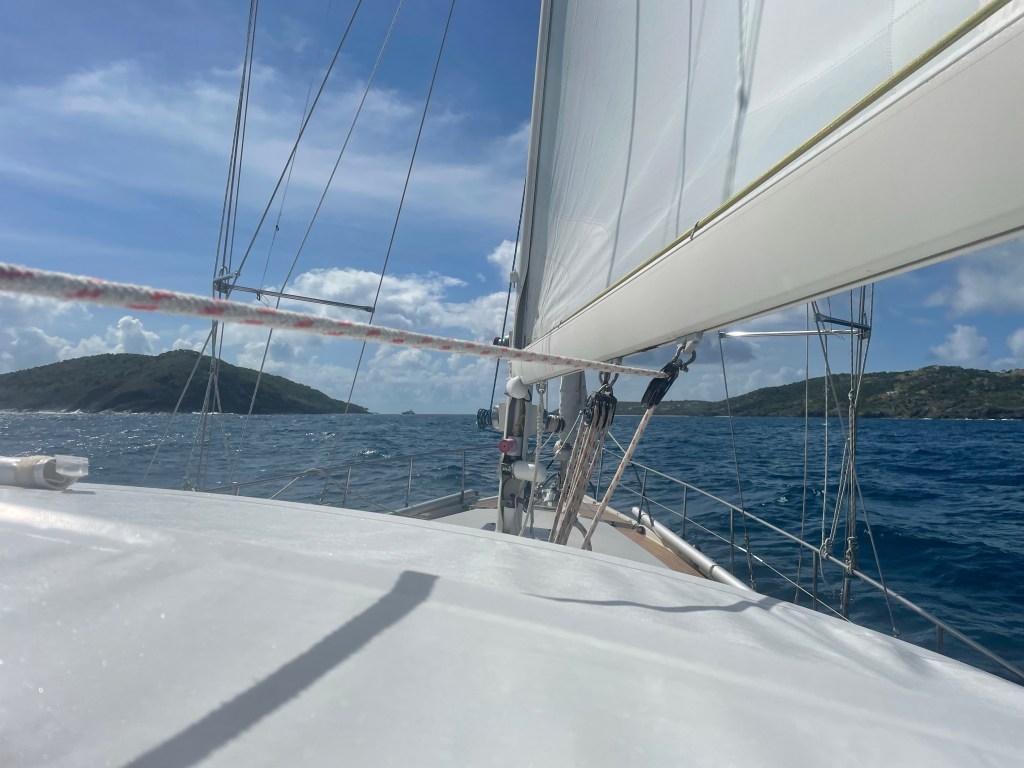
Motorsailing into Culebra

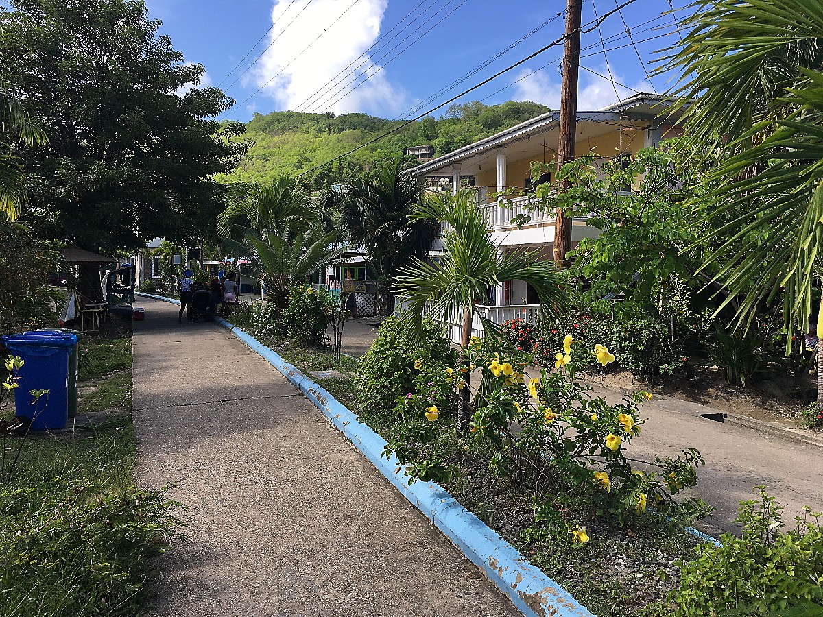
It’s been about 4 years (and one major hurricane!) since we were last here. From the water, the town looks pretty much as we last saw it. Most structures and businesses are in good shape. The anchorage is busy, but not full.

We had planned on staying here for a few days at least, but we are making changes on the fly. We are going to head over to the main island of Puerto Rico and a marina slip where we can take care of some logistical issues with parts and packages, and also meet up with some friends. It will also be better provisioning at the local Walmart Supercenter than we can do out here.

600 miles upwind reminded us why we really, really avoid bashing into the wind as much as we can! The good news is the roughest part of the upwind work across the Caribbean is behind us. We can now do short day hops from one island to another. For example, from here we can see St Thomas in the US Virgin Islands.

Posted in Underway | Leave a comment

Hide and seek

Current Location: 20 25.7N 66 17.8W
Distance from San Salvador: 507 NM.
Distance from Culebra: 142 NM
Local time: 11:28
Weather: Sunny, Wind 15ENE, Seas 8 feet

We were frustrated in our hunt for the weather buoy. We know it is there, because we can see the data it reports in our weather information, but in the waves, and diminishing light of dusk we couldn’t find it. From past experience we know that these buoys have a pretty small radar signature, and it was lost in the random returns from the waves. After a short search pattern, we surrendered to the increasing darkness. Oh well. Onward!

At 2AM (everything happens at 2AM!) Karen was on watch, and heard a loud noise, and quickly realized that something was wrong with the genoa, the largest of our sails on the front of the boat. It was no longer attached near the top of the mast. We quickly rolled it up so we were not left with a huge pile of canvas on deck. We do have a small extra jib we could use, unfortunately, the swivel that the sail attaches to was stuck at the top of the headstay. When the connection between the sail and the swivel breaks, the stretch and tension in the halyard snaps the swivel upward, when it reaches the limit of its travel, it gets stuck. Until we can get it down, we can’t put the spare sail up. In short, until we can get to a point I can climb the mast, we are without a usable jib on the front of the boat.

In a real emergency, we could get the original sail down, and hoist the spare as a non-furling sail. We decided against that for now.

Now an Amel Super Maramu without a genoa is not much of a sailboat. It is slow and cumbersome. In ocean waves it is also a pretty poor motorboat. But… under power with the mainsail set, we can motor sail quite effectively. We are currently motor sailing at 6 to 7 knots. We have enough fuel to reach our destination. So all is good. Not great, but good.

In the next couple of hours we’ll be crossing the Puerto Rican Trench, at close to 5 miles from surface to bottom it is some of the deepest ocean water in the world.

Posted in Underway | 2 Comments

Race Lost

Current Location: 24 19.41N 68 33.20W
Distance from San Salvador: 328 NM.
Distance from Culebra: 407NM
Local time: 12:30
Weather: Overcast, widely scattered showers, Wind 4NNW, Seas 2 feet

About dusk last night we lost our race against the patch of windless weather that had been following us. A short period of drenching rain was followed by a few hours of winds from the NW, but that pretty quickly faded to “light and variable.” Our trusty Volvo diesel has been moving us along while we wait for the easterly trade winds to fill back in.

Normally when we are in winds this light, the waves calm down quick quickly. This is a bit of an exception. Even though right here, right now, the winds are very light, only a couple dozen miles in any direction the wind is blowing. Because of this we are in what is normally described as a “confused” sea. There are large, widely spaced, waves coming from the southeast, and smaller waves, closer together, from the northwest and from the northeast. The resulting jumble is chaotic. It leads to a boat motion that is not violent, or extreme, but unpredictable, especially without the steady pressure of wind in the sails.

We have a local destination we are hoping to pause at this afternoon: “ODAS 41046” This is part of the “Offshore Data Acquisition System” or, in words not invented by someone working in a government office, a weather buoy. This one is (somehow!) tethered in 18,000 feet of water! If you have followed any of our fishing posts, you will be aware that anything floating in the otherwise featureless open water will attract and hold large number of fish. Tuna, mahi-mahi, jacks, wahoo, and endless numbers of small baitfish. I am hopeful that the weather will allow us a hour or two of catching before dark.

One possibility is that the buoy charted not actually there. Buoys, especially those anchored in such deep water have a tendency to go walkabout in storms. They can also be a bit harder to find than you might think. Even if the anchor was dropped EXACTLY at the charted point (unlikely!) It probably didn’t go straight down for 3 miles(!). Then the cable that secures it is longer than the depth of the water, so it has a large swinging circle, and finally, has the anchor stayed in exactly the same spot as it was when deployed? This one is just a few miles from our planned course, so is worth the effort to detour and see what we can find. These data sources are important to forecasting, especially during hurricane season and tend to be well maintained. We are hopeful that it is there and we can find it!

Posted in Underway | 1 Comment

When..

Current Location: 25 37.74N 70 44.84W
Distance from San Salvador: 227 NM.
Distance from Culebra: 536NM
Local time: 09:34
Weather: Partly cloudy, Wind 17SSE, Seas 5-6 feet

About 24 hours after the forecast predicted the wind FINALLY switched to the South, quite suddenly. This gave us a chance to make ground to the east. About 6 hours later, it switched back again. Sigh… But, once again, we are on a perfect course just a bit south of east, and sailing at 7 to 8 knots. The nearest land to our current position in the Turks and Caicos, about 200 to the southwest.

We are in a race. Our objective is to get far enough east that when the wind changes back to coming FROM the east, we will be in a position we can point the boat at our final destination and be on a reasonably comfortable reach. If we can hold this course and speed for another 48 hours, we should be in a good spot. If I believe the models (Ha!), just 20 to 50 miles to our west, and overtaking us, is a large patch of very calm winds. Our strategy, if and when that reaches us is to motor to the east to continue to try to put us in the best possible location for the return of the east blowing trade winds.

Other than our frustrations with the weather, it has been a very uneventful passage so far. A bit rough and bumpy, but that was expected. It has been too rough to get any fishing done, and this part of the ocean is pretty thick with Sargasso weed, so fishing would be a challenge anyway. Not much in the way of creatures to see, and most of the time no ship traffic on the screen at all.

Posted in Underway | Leave a comment

If…

Current Location: 25 09.3N 73 04.7W
Distance from San Salvador: 103 NM.
Distance from Culebra: 600NM
Local time: 08:39
Weather: Cloudy, Wind 18E, Seas 5-6 feet

I believe I talked bout how we were going to have a pretty easy trip of it, IF the forecasts were right. Well, the forecasts have been from the beginning, consistent between models, very favorable, and very WRONG.

From the southeast they say. Swinging to the south. Perfect for making your way east. HA! Since we rounded the northern end of San Salvador we have been close hauled sailing hard into a wind within a few degrees of due east. The forecasts keep promising a 90 degree shift, and it just doesn’t happen.

Nothing much else to say! The boat is sailing well in it’s own happy groove. The weather is gray, with scattered squalls. Other than a couple of cargo ships going by, nothing much to see.

Posted in Underway | Leave a comment

In–and Out–of San Salvador

San Salvador is generally considered to be the island where Columbus first landed in the New World, although there is a never ending dispute about it. It rises with sheer walls out of the deep ocean, the dropoff to water more than a mile deep is within a hundred yards of shore in most places. The wall dives here are among the best in the world, with reef fish and pelagics mixing together. It is the place to come for fisherman who are seriously pursuing large ocean fish, especially Wahoo. Every year there are several 100+ lb monsters caught here.

It is pretty strictly a tourism based economy. Unfortunately, at least right now, the tourists haven’t reappeared. It is off the beaten track for most of the US based sport fishing boats, and without well protected anchorages, cruising boats tend to give it a pass. Right now, other than the commercial diver operators, there are exactly two boats in the marina.

Harmonie feeling a little lonely at the Riding Rock Marina, San Salvador

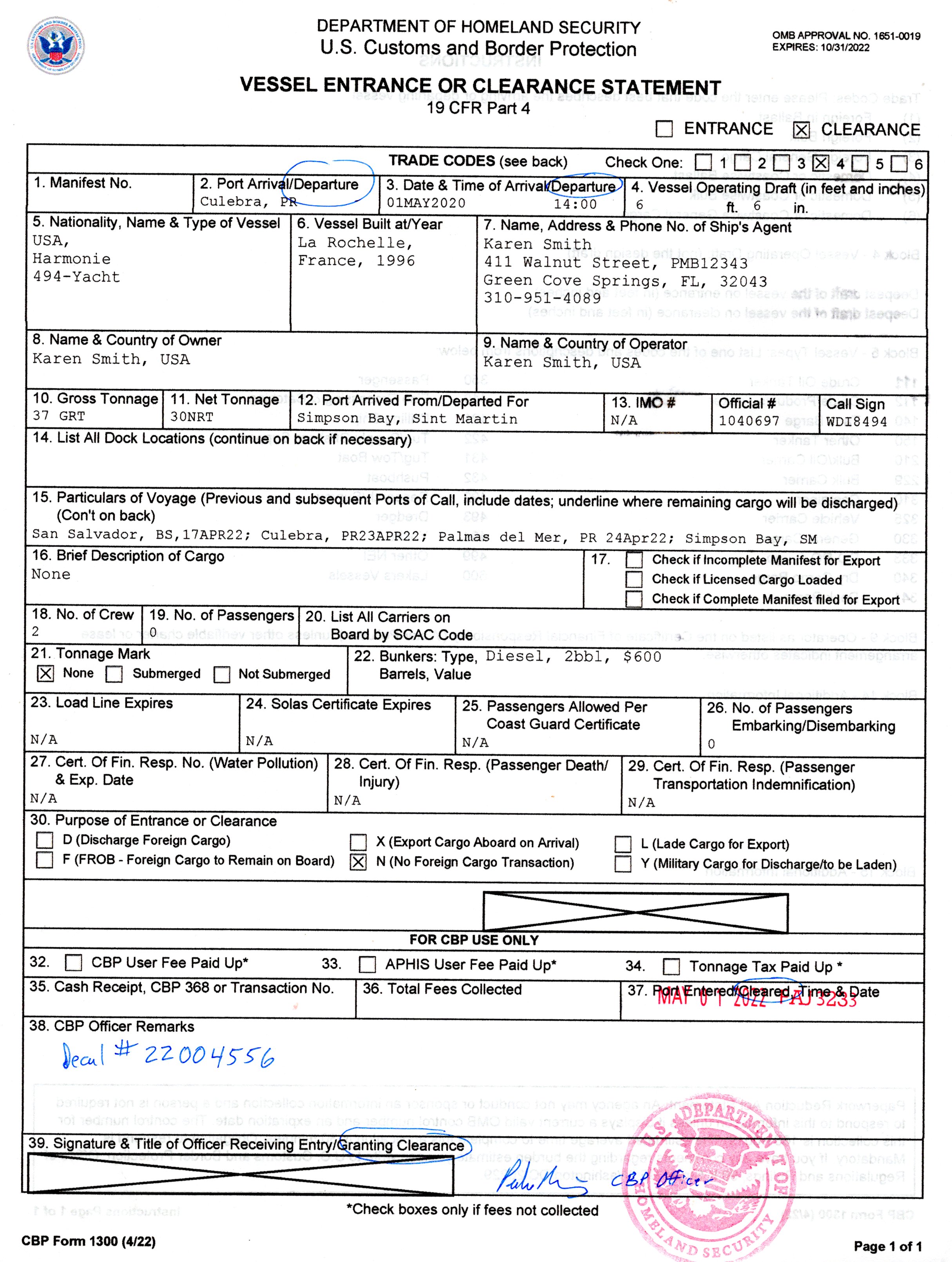
We came here to refill our provisions for the week long passage coming up, and to clear out the coutry with Customs. Up until recently, clearing out of the Bahamas was optional for pleasure vessels. As a general rule, boat that were going on to countries which expected to see a “zarpe” did so. Boats headed to the USA, which doesn’t really care about outbound clearance documents, typically just skipped the process, and that was fine with the Bahamians, but not anymore.

We have seen too many people posting that they couldn’t find a “convenient” Port of Entry when they wanted to leave, so they just blew off the clearing out process. I’m sure the Bahaminas won’t be hunting them down, but with the new computerized system for keeping track of boats, I’m guessing there might be some uncomfortable questions asked if they return next year.

We walked the half mile or so the the San Salvador International Airport where we presented our paperwork to the customs officer. It looked like we where about the only thing he had to do that day. Fifteen minutes later, with some form filling, and stamping (you HAVE to have your forms stamped!) we were good to go. As far as the Bahama officialdom is concerned we are already gone!

Grocery shopping was unexceptional, a typical “medium island” store.

Our second mast-top repair was completed without drama this afternoon. Karen winched me up to the top of the mainmast, where our replacement MHU (Mast Head Unit) plugged in without an issue. All the bits and pieces were there, and as they should be, including the wire bail that secures the screw lock in place. How and why it could have come apart, will remain one of the mysteries of the universe…

Securing the locking bail on the wind MHU.

We continue to look at a favorable weather forecast that will take us from here to our planned destination of Culebra, Puerto Rico. Right now it looks like 6 days with good winds the whole way.

Posted in Underway | Tagged , , , , , , , , , , , , , , , , , , , , , , , , , | Leave a comment

The “Thorny Path”

The route due east from Florida to the leeward islands of the Caribbean has long been known to sailors as the “Thorny Path.” The reason is that it is mostly straight into the tradewinds that (more or less) blow straight out of the east. They blow steady and they blow hard. Sailing east in these conditions is NOT fun.

Over the years we have sailed here, we have always tried hard to avoid beating directly into the wind. It might mean waiting a week, or two, (or three!) for favorable winds to appear. But sometimes, the best strategy is to take the beating today, with the hope that you will have a break tomorrow. Yesterday, we took the beating, and stepped up onto to the thorny path.

We left Ragged Island early yesterday morning. The winds were from the southeast (as expected) at 16 to 18 knots. We were close hauled on starboard tack. As expected. The ride was fast, and bouncy, but pretty much as expected. By the middle of the day the winds had increased to a steady 25 knots (NOT as expected!) Now we were sailing fast, and flying off the tops of the large waves. It was… uncomfortable. We managed. The boat managed. The only problem encountered was we tore the top of our mizzen sail. It is old and getting a bit tired, so this wasn’t entirely unexpected. We bundled the sail up, and put it below, and sailed on with just the genoa and main.

We managed to round the southern edge of Long Island on one tack. Now we can at last bear off a bit, and point directly at San Salvador. On a reach like this we are now sailing REALLY fast. Consistently over 10 knots. Since we are not punching straight into the waves anymore, the ride is smoother (mostly). Except… that one wave we sail off the top of, and there is no bottom… we fall into a hole in the water. 18 tons of boat falling down comes to a really fast stop when it finally hits the water. As unpleasant as it is to the humans along for the ride, this isn’t something that is dangerous for the boat, but sometimes some of the parts haven’t gotten that message. When the boat shakes off the salt water and gets moving again, the data from our anemometer is no longer on our display. It is after dark, so we really don’t have any idea what has gone wrong. Not a crisis. We, and generations of sailors before us, have sailed without electronic wind instruments.

We arrived at San Salvador hours earlier than we expected. Rather than trying to find our way into the marina at 2AM we anchored off the beach and waited for sunrise.

Once daylight arrives, we can see the issue. The anemometer at the top of the mast is gone, just completely missing… I am not at all sure exactly how this could have happened…

We pulled into the marina, and it wasn’t long before we had the mizzen sail patched up. I hauled Karen on a quick trip to the top of the mizzen mast to retrieve bits stranded up there when the sail came down. After that success, we got all everything on the mizzen mast put back together.

We have gotten the best look we can from ground level at the top of the mainmast to see what’s going on up there with the anemometer. We have a spare, and it LOOKS like all the connections are just waiting up there for a replacement. Tomorrow will tell, when it is my turn to be hauled up the mast and have a look.

Sooo… why did we beat our brains out getting here? Because there is a cold front dipping down and will be passing here in the next couple of days. We are going to grab the winds from the north, south and west from that weather system and race east as fast as we can. If our weather routing predictions can be believed, we have to opportunity to sail from San Salvador to Puerto Rico without beating at all. I’ll believe it when I see it, but it sure looks good…

The possible alternative routes that our program has predicted for the next leg.
Posted in Underway | Leave a comment

Enough of this Goofing Off…

Time to get to work.

The next destination for us is a place we have been before, the island of Culibra. Politically, it is part of Puerto Rico (and hence, the USA), geographically it is one of the “Spanish Virgin Islands”. From our current location Culibra is 630 nautical miles to the southeast. There are two complications to this plan.

Complication Number 1: Our destination is over 600 miles to the southeast of where we are. The very steady prevailing winds here are directly from… yes… the southeast. Beating up against that wall is neither fun nor productive. So a bit of strategy is needed.

Complication Number 2: This one is man-made. We have to check out of the Bahamas with Customs and Immigration. It used to be that this could be done at Mayaguana, the island that lay furthest to the east of all the Bahamian islands. That would have been convenient, unfortunately Mayaguana is no longer a Port of Entry, so we will have to make other arrangements.

After considering the relative merits of our choices, we are going to San Salvadore where there is a Port of Entry office at Riding Rock Marina. Today is Tuesday the 12th, the wind is from the east and blowing hard. We’re going to give it an extra day to die down a bit, and leave here for the 24 hour trip to San Salvadore on Thursday. Hopefully we will be able to get some provisions and a fuel top-off before heading out again.

What looks to a landlubber (or for that matter a stinkpotter(*)) like a long and circuitous route, is for us on a sailboat the best we can arrange. Two days after we arrive in San Salvadore, the southern edge of a cold front will pass by, the wind will swing first to the south, and then around to the north. This will allow us to sail more or less due east for several days. As we once again get into winds from out of the east, we will have made enough easting that we will have an easy and comfortable ride into our destination.

Or at least that’s the plan…


(*)Stinkpotter: A person who drives a stinkpot, AKA a motorboat.

Posted in Places, Underway | Tagged , , , , , , , , , , , , , , , , , , , , , , , , | 3 Comments